
 Continue with onX Maps
 Sign in with Facebook


 Difficult

 4.7 (3)

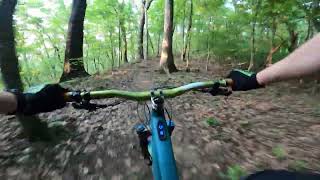
“A short but very steep and twisty climb or descent. ”


0.5
Miles0.9
KMSingletrack


0 Comments