
 Continue with onX Maps
 Sign in with Facebook


 Intermediate/Difficult

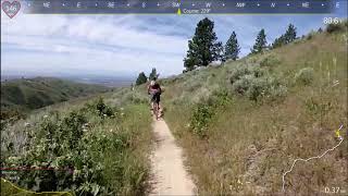
“A classic Stack Rock ride up in the trees above Boise. ”


6.9
Miles11.1
KMSingletrack
 Intermediate/Difficult
Local Club: Southwest Idaho Mountain Bike Association
Land Manager: Ridge to Rivers
 Corndog Drop
13.3 mi 21.4 km • 766' Up 233.37 m Up • 3,229' Down 984.28 m Down
 Boise, ID
Thunder Monkey
Boise, ID
Thunder Monkey
15.4 mi 24.8 km • 834' Up 254.31 m Up • 3,548' Down 1081.41 m Down
Boise, ID
 Sweet Connie Shuttle
10.2 mi 16.4 km • 622' Up 189.6 m Up • 2,766' Down 843.16 m Down
Boise, ID
 Hawkins Loop
5.8 mi 9.4 km • 450' Up 137.28 m Up • 445' Down 135.78 m Down
 Boise, ID
 Trail 4 Shuttle
8.5 mi 13.7 km • 173' Up 52.61 m Up • 3,252' Down 991.31 m Down
Boise, ID
Coyote Classic Race Course
48.2 mi 77.6 km • 6,143' Up 1872.32 m Up • 6,140' Down 1871.51 m Down
Eagle, ID


1 Comment