
 Continue with onX Maps
 Continue with Facebook


 Difficult
Difficult
Difficult
 Difficult
Land Manager: USFS - Pisgah National Forest, Pisgah Ranger District
 Northern Loop
12.4 mi 19.9 km • 1,424' Up 434.08 m Up • 1,425' Down 434.47 m Down

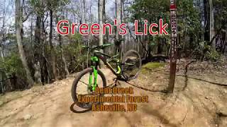
 Bent Creek, NC
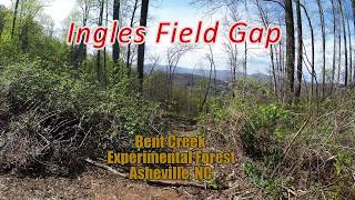
 Ingles Field Gap Loop
9.7 mi 15.7 km • 1,038' Up 316.33 m Up • 1,027' Down 312.92 m Down
Bent Creek, NC
 Pisgah Long Tour
27.2 mi 43.7 km • 3,591' Up 1094.45 m Up • 4,637' Down 1413.3 m Down
Mills R…, NC
Turkeypen Gap to Black Mountain Loop
23.3 mi 37.5 km • 3,568' Up 1087.56 m Up • 3,570' Down 1088.22 m Down
Lake Imaging Loop
9.5 mi 15.2 km • 1,061' Up 323.47 m Up • 1,062' Down 323.63 m Down
Brevard, NC
Lake Imaging Lollipop
14.0 mi 22.6 km • 1,454' Up 443.09 m Up • 1,452' Down 442.67 m Down
Brevard, NC


0 Comments