
 Continue with onX Maps
 Continue with Facebook


 Difficult

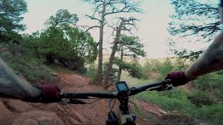
“A technical connecter between Lion Trail and Hogback Ridge Trail. ”


0.4
Miles0.6
KMSingletrack
 Difficult
Local Club: Medicine Wheel Trail Advocates
Feb 26, 2024: Use YOUR voice to direct the future of recreation in Colorado: SCORP ’24
Feb 1, 2024: The Trail That Dare Not Speak its Name
Jan 9, 2024: What is going on in North Cheyenne Cañon?
Land Manager: City of Colorado Springs, CO- Parks, Trails & Open Space
 D-Loop #7
9.1 mi 14.6 km • 1,634' Up 498.04 m Up • 1,632' Down 497.37 m Down
 Manitou…, CO
Ring the Peak
Manitou…, CO
Ring the Peak
68.2 mi 109.7 km • 8,852' Up 2698.19 m Up • 8,853' Down 2698.31 m Down
 Colorad…, CO
 Tour of the Garden of the Gods
8.7 mi 14.1 km • 673' Up 205.2 m Up • 674' Down 205.32 m Down
Ring the Peak 2019
66.8 mi 107.5 km • 10,373' Up 3161.56 m Up • 10,373' Down 3161.84 m Down
Manitou…, CO
 Chutes - Gold Camp Rd - Buckhorn - Captain Jack's
13.6 mi 21.9 km • 1,989' Up 606.1 m Up • 1,986' Down 605.45 m Down
Colorad…, CO
Colorado Springs to Cañon City Bikepack via Cripple Creek and Victor
141.6 mi 227.9 km • 10,383' Up 3164.85 m Up • 10,385' Down 3165.38 m Down


 Bad / Closed


0 Comments