
 Continue with onX Maps
 Sign in with Facebook


 Intermediate


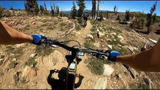
“The trail runs right along the Gold Lake highway. ”


1.3
Miles2.1
KMSingletrack


0 Comments