
 Continue with onX Maps
 Continue with Facebook


 Intermediate

“A relatively tame trail up to wonderful views plus a fast descent off the backside. ”


4.1
Miles6.6
KMSingletrack
 Intermediate
Local Club: Central Coast Concerned Mountain Bikers
Land Manager: California State Parks - Montana de Oro
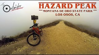
 Oats Peak Trail
11.3 mi 18.2 km • 1,433' Up 436.67 m Up • 1,438' Down 438.39 m Down

 Los Osos, CA
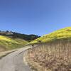
 East Boundary-Hazard Peak-Manzanita
12.5 mi 20.2 km • 1,678' Up 511.35 m Up • 1,676' Down 510.74 m Down
Los Osos, CA
Quarry Short Loop
2.3 mi 3.7 km • 385' Up 117.22 m Up • 384' Down 116.97 m Down
Spring Trail from Alternate Parking
4.3 mi 7.0 km • 511' Up 155.64 m Up • 510' Down 155.43 m Down
Pismo B…, CA
Duna Vista Loop
7.6 mi 12.2 km • 973' Up 296.46 m Up • 975' Down 297.26 m Down
Nipomo, CA
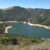
 Lopez Lake Area Tour
15.3 mi 24.6 km • 2,104' Up 641.44 m Up • 2,104' Down 641.32 m Down


 All Clear


2 Comments