Bring cash if you plan on stopping at the Cripple Creek KOA. Otherwise, you can filter water next to Hwy 67 before making the left turn to the KOA. Bring lights and leave early to avoid as much traffic as possible on Hwy 24.
Typical times for this range from around 7 to upwards of 15 hours if you ride this in one day. Be prepared for afternoon thunderstorms, especially from FS376 onward. There is basically no shelter after you leave the KOA.
Climb up Ruxton Ave and stay right at the initial fork to reach the
Ute Indian Trail (UPT). Near the top of Ruxton, you'll see some condos right after the road forks and becomes one-way to traffic. Right where the road forks again (left loops back downhill, right continues up to the cog railway), take the immediate right that goes up a steeper paved hill. This is the way to the
Ute Pass Trail. It will wind behind the condos and turn to dirt. Follow this up the pass. Upon reaching the top, descend down (right/north) to Highway 24. Cross over the gate and CAREFULLY cross to the other side of Highway 24. There is a very small shoulder, so your reflective stuff is helpful since cars speed up the canyon and go around multiple blind turns.
When you reach Cascade (first traffic light, about 1.5 miles or so up the pass from the UPT), turn left and continue up the main road to reach the Mount Esther Trail. Look for Picabo Road and take a left on that. It climbs steeply up and just as it flattens out, look for a dirt road off to your left. Take this unnamed road, and immediately on the right, you'll see a sign for the Mount Esther Trail.
Climb up to the trailhead for the Mount Esther Trail and take this to the top of Cascade Ridge. This is approximately a 30 minute hike-a-bike (mandatory, foot travel only), but once you attain the ridge, it's nice riding to the reservoir with some additional singletrack climbing. Continue to Catamount Reservoir and ride around the Northwest slope of Pikes Peak…
Follow the trail to the northwest slopes of Pikes Peak and eventually pop out on a dirt road near the Crags Trailhead and Campground. This section is beautiful. It's deep in the woods and has some grunty climbs mixed with steady trail riding. Continue left up the hill to the Crags Campground.
From the campground, continue straight until the road ends, and take the trail toward Horsethief Park (trail on your right). At Horsethief Park, do not continue to Pancake Rocks; go right and downhill after crossing the stream so you reach Highway 67. Make a left onto the highway. Follow Highway 67 just past Gillette – there is a spring on the right side of the road as you approach the old town. This is a good place to filter water. Look for a large, round tub on the right side of the road just before reaching the junction of Hwy 67 and 81.
Take Hwy 81 and you'll see a KOA Campground on your left. This is a potential for a snack stop. Leaving the KOA, turn left and continue on Hwy 81 to the left turn for
Gold Camp Road (left onto dirt). Gold Camp and Old Seven Steps Road will take you up a long climb to the backside of Almagre Mountain/Mount Baldy (12,500 feet) where you'll descend down the fire road to Frosty Park.
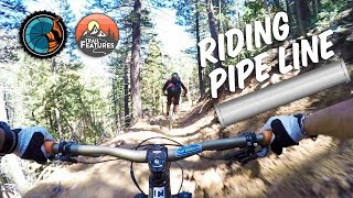
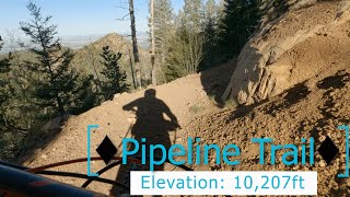
FS 376 is your first left turn – this climbs very steeply for pretty much forever. Upon reaching the top, you'll see an open area and an awesome hike-a-bike to your right. Take that. Have fun.
From the top of the hike-a-bike, follow the RTP signs through more rolling terrain and eventually you'll descend to Frosty Park and take Trail 701.
After reaching Frosty Park, take a left to start down Trail 701 for a short time. You'll see a right turn that takes you to Trail 668. Continue on 668 downhill and follow it to the junction of Seven Bridges Trail (Trail 662). Stay left and continue on 668 to Jones Park.
Follow 667 downstream to the junction with Trail 666. Follow Trail 666 downhill to High Drive. Be careful on 666 – this trail is steep in sections and has some real exposure. Continue on
Palmer Trail into Manitou Springs to finish up.

 Continue with onX Maps
 Sign in with Facebook


 Difficult

 Race - Sep 7, 2019
 LPC After Work Ride

 Red Rock Canyon Tour
 D-Loop #2.1


0 Comments