
 Continue with onX Maps
 Sign in with Facebook


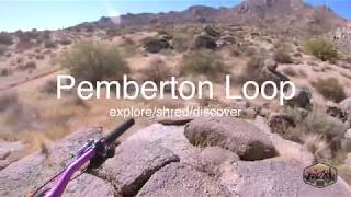
 Easy/Intermediate
Easy/Intermediate
Easy/Intermediate
 Easy/Intermediate
Land Manager: City of Scottsdale
 The Long Way Around
18.1 mi 29.1 km • 689' Up 210.04 m Up • 689' Down 210.11 m Down

 Carefree, AZ
West Side Loop
Carefree, AZ
West Side Loop
19.5 mi 31.3 km • 706' Up 215.08 m Up • 705' Down 215.01 m Down
 The Bell Toll
10.4 mi 16.7 km • 1,981' Up 603.93 m Up • 1,982' Down 603.97 m Down
Phoenix Sonoran Preserve North/South Loop
13.0 mi 20.9 km • 459' Up 140.02 m Up • 456' Down 139.1 m Down
 Reach 11 Long Loop
18.1 mi 29.2 km • 168' Up 51.12 m Up • 167' Down 51.04 m Down
 Trail 100 - Charles M. Christiansen Memorial
11.3 mi 18.2 km • 860' Up 262.05 m Up • 964' Down 293.9 m Down


 All Clear


1 Comment