
 Continue with onX Maps
 Continue with Facebook


 Difficult
Difficult
Difficult
 Difficult
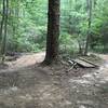
Land Manager: Georgia DNR Wildlife Resources Division - Pine Log WMA
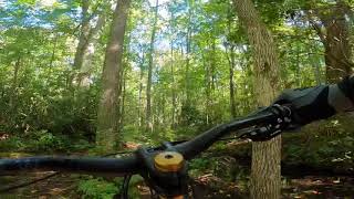
 Classic Allatoona Race Course
6.3 mi 10.1 km • 507' Up 154.54 m Up • 463' Down 141.22 m Down
 Acworth, GA
Turtle Drift
Acworth, GA
Turtle Drift
11.5 mi 18.5 km • 835' Up 254.49 m Up • 831' Down 253.28 m Down
 Acworth, GA
 'Toona Magic
11.4 mi 18.3 km • 1,094' Up 333.44 m Up • 1,094' Down 333.42 m Down
Acworth, GA
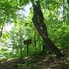
 Johns Mountain
8.7 mi 14.1 km • 1,346' Up 410.15 m Up • 1,347' Down 410.55 m Down
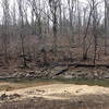
 Snake 50 (Dry Creek Segment)
18.9 mi 30.5 km • 2,595' Up 791.05 m Up • 2,501' Down 762.33 m Down
Trion, GA
Dry Creek Regatta
18.4 mi 29.6 km • 1,470' Up 448.16 m Up • 1,465' Down 446.43 m Down
Trion, GA


1 Comment