
 Continue with onX Maps
 Continue with Facebook


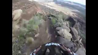
 Very Difficult

“This is a extremely technical descent with steep slabs, chunky terrain, and high consequence no fall zones. ”


1.5
Miles2.4
KMSingletrack
 Very Difficult
Land Manager: BLM Utah - St. George Field Office
 Goosebump Loop
8.2 mi 13.1 km • 517' Up 157.5 m Up • 517' Down 157.46 m Down

 Hurricane, UT
 Hurricane Rim Loop - IMBA EPIC
20.8 mi 33.5 km • 1,326' Up 404.23 m Up • 1,329' Down 405.13 m Down
 Grafton Shuttle Ride
4.0 mi 6.4 km • 63' Up 19.07 m Up • 1,156' Down 352.28 m Down
Springdale, UT
 White Reef Loop
4.1 mi 6.6 km • 346' Up 105.41 m Up • 345' Down 105.01 m Down
Applecross Sampler Pack
7.1 mi 11.4 km • 1,022' Up 311.53 m Up • 1,020' Down 310.85 m Down
Springdale, UT
Chuckwalla, Beck Hill, Turtle Wall, Halfway Wash
5.5 mi 8.9 km • 580' Up 176.71 m Up • 566' Down 172.55 m Down
Santa C…, UT


1 Comment