
 Continue with onX Maps
 Sign in with Facebook


 Intermediate

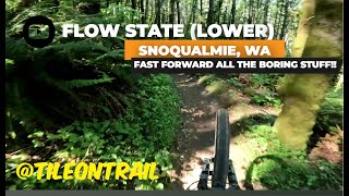
“An easier descending trail. ”


0.6
Miles1.0
KMSingletrack
 Intermediate
Land Manager: WA DNR
 Raging River Lollipop
19.9 mi 32.0 km • 3,673' Up 1119.63 m Up • 3,674' Down 1119.84 m Down
 Snoqualmie, WA
OTG - NOTG - Atlas
Snoqualmie, WA
OTG - NOTG - Atlas
9.5 mi 15.3 km • 2,239' Up 682.51 m Up • 2,238' Down 682.11 m Down
Mirrormont, WA
 Tiger Mountain Classic Loop
19.2 mi 30.9 km • 3,977' Up 1212.26 m Up • 3,975' Down 1211.59 m Down
 Mirrormont, WA
 Grand Ridge Route
15.6 mi 25.1 km • 1,717' Up 523.25 m Up • 1,717' Down 523.25 m Down
Issaquah, WA
Middle Fork Snoqualmie Loop
28.6 mi 46.0 km • 2,820' Up 859.39 m Up • 2,822' Down 860.03 m Down
The Mana Loop
9.2 mi 14.9 km • 655' Up 199.67 m Up • 656' Down 199.9 m Down


 All Clear


0 Comments