
 Continue with onX Maps
 Sign in with Facebook


 Easy/Intermediate

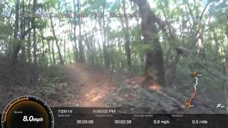
“Cloudland Canyon State Park's flagship mountain bike and horseback trail. ”


3.4
Miles5.4
KMSingletrack
 Easy/Intermediate
Local Club: SORBA - Chattanooga
Land Manager: GA Department Natural Resources
 Battlefield Gravel Sixer
6.6 mi 10.6 km • 481' Up 146.5 m Up • 481' Down 146.61 m Down


 High Voltage/Live Wire Shortest Loop
13.3 mi 21.4 km • 1,796' Up 547.55 m Up • 1,795' Down 547.06 m Down
 Raccoon Mountain Upper Loop
13.4 mi 21.5 km • 2,308' Up 703.33 m Up • 2,327' Down 709.14 m Down
 Snake 50 (Dry Creek Segment)
18.9 mi 30.5 km • 2,595' Up 791.05 m Up • 2,501' Down 762.33 m Down
Trion, GA
White Oak Mountain Loop
4.7 mi 7.5 km • 360' Up 109.85 m Up • 361' Down 110.13 m Down
College…, TN
Bauxite
9.7 mi 15.5 km • 830' Up 253.05 m Up • 832' Down 253.52 m Down
College…, TN


0 Comments