
 Continue with onX Maps
 Sign in with Facebook


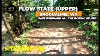
 Intermediate

“A sweet intermediate descending trail. ”


0.5
Miles0.8
KMSingletrack
 Intermediate
Land Manager: WA DNR
 Raging River Lollipop
19.9 mi 32.0 km • 3,673' Up 1119.63 m Up • 3,674' Down 1119.84 m Down
 Snoqualmie, WA
 Poppin' Tops Lower Lap
4.5 mi 7.2 km • 818' Up 249.3 m Up • 811' Down 247.32 m Down
Snoqualmie, WA
Tokyo Drift
0.6 mi 1.0 km • 2' Up 0.61 m Up • 460' Down 140.25 m Down
Fall City, WA
Grand Ridge Route
15.6 mi 25.1 km • 1,717' Up 523.25 m Up • 1,717' Down 523.25 m Down
 Issaquah, WA
The Mana Loop
Issaquah, WA
The Mana Loop
9.2 mi 14.9 km • 655' Up 199.67 m Up • 656' Down 199.9 m Down
Thrilla in Woodinvilla
17.8 mi 28.7 km • 1,369' Up 417.2 m Up • 1,372' Down 418.11 m Down


 All Clear


0 Comments