
 Continue with onX Maps
 Continue with Facebook


 Very Difficult
Very Difficult
Very Difficult
 Very Difficult
Local Club: Wood River Trails Coalition
Land Manager: Sawtooth National Forest - Sawtooth National Recreation Area
 Boundary to Little Casino
13.8 mi 22.2 km • 2,517' Up 767.13 m Up • 2,894' Down 882.11 m Down

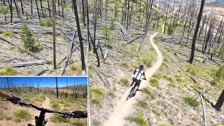
 Elk Mountain Loop
11.4 mi 18.4 km • 1,063' Up 323.89 m Up • 1,061' Down 323.49 m Down
 Challis, ID
Idaho Trail Segment 9
Challis, ID
Idaho Trail Segment 9
64.9 mi 104.4 km • 5,683' Up 1732.18 m Up • 5,420' Down 1652.12 m Down
Big-Little Boulder Loop
22.4 mi 36.0 km • 3,466' Up 1056.33 m Up • 3,500' Down 1066.65 m Down
Sun Valley, ID
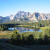
Big Bowery Loop
36.4 mi 58.6 km • 4,382' Up 1335.59 m Up • 4,381' Down 1335.44 m Down
Galena Grinder - IMBA EPIC
25.6 mi 41.1 km • 3,056' Up 931.47 m Up • 3,047' Down 928.59 m Down
Sun Valley, ID


0 Comments