
 Continue with onX Maps
 Sign in with Facebook


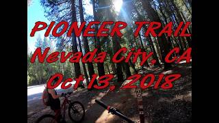
 Easy/Intermediate

“A smooth and easy roller coaster ride with a combination of wide and narrow trail. ”


4.0
Miles6.4
KMSingletrack
 Easy/Intermediate
Land Manager: USFS - Tahoe National Forest Office
 Bullards Bar Loop
15.2 mi 24.4 km • 2,532' Up 771.75 m Up • 2,530' Down 771.15 m Down

 North Yuba Loop
11.0 mi 17.7 km • 2,029' Up 618.37 m Up • 2,023' Down 616.49 m Down
Foresthill Divide
11.0 mi 17.6 km • 1,344' Up 409.78 m Up • 1,345' Down 409.85 m Down
 Auburn…, CA
 Downieville Classic from Butcher Ranch
12.6 mi 20.2 km • 538' Up 164.06 m Up • 4,224' Down 1287.39 m Down
Downiev…, CA
Hidden Falls Park - 9 Mile Trail
9.3 mi 14.9 km • 1,060' Up 323.14 m Up • 1,069' Down 325.85 m Down
North A…, CA
Johnsville A-Tree to Downieville First Divide
15.5 mi 24.9 km • 632' Up 192.51 m Up • 4,297' Down 1309.71 m Down


 All Clear


0 Comments