
 Continue with onX Maps
 Continue with Facebook


 Intermediate


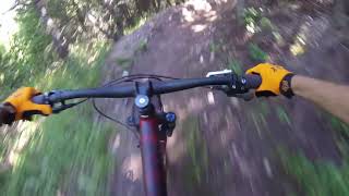
“An uphill with 6% to 15% grades and occasional 20% bumps and access to Let'm Roll downhill flow trail. ”


1.0
Miles1.7
KMSingletrack


0 Comments