
 Continue with onX Maps
 Continue with Facebook


 Intermediate/Difficult

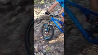
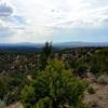
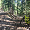
“A good ride with a measure of climbs and descents as it travels across the Rio Grande del Norte National Monument. ”


6.3
Miles10.1
KMSingletrack
 Intermediate/Difficult
Land Manager: BLM New Mexico - Taos Field Office
 Cebolla Mesa Wanderer
14.2 mi 22.8 km • 882' Up 268.84 m Up • 878' Down 267.59 m Down


 Questa - San Cristobal Loop
25.2 mi 40.5 km • 2,801' Up 853.73 m Up • 2,803' Down 854.23 m Down
 Hike-a-Bike 'till You Ride!
14.9 mi 23.9 km • 3,226' Up 983.18 m Up • 3,229' Down 984.2 m Down
Northside - Alpine Wildflower Loop
10.3 mi 16.5 km • 2,180' Up 664.42 m Up • 2,186' Down 666.26 m Down
Valle Vidal Loop
47.7 mi 76.7 km • 2,691' Up 820.26 m Up • 2,693' Down 820.78 m Down
Red River, NM
Lobatos Bridge to John Dunn Bridge
48.1 mi 77.5 km • 715' Up 218 m Up • 1,683' Down 512.91 m Down
Conejos, CO


0 Comments