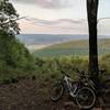
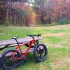
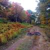
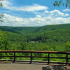
“Slowly descending, rocky singletrack. ”
2.1
Miles3.4
KMSingletrack

Local Club: Susquehanna Valley Velo Club
Land Manager: PA DCNR - Tiadaghton State Forest
 Blue Dot Loop
2.7 mi 4.3 km • 175' Up 53.37 m Up • 172' Down 52.44 m Down


 Kenmar, PA
 Raccoon Mountain Beginner Loop
6.5 mi 10.4 km • 390' Up 118.94 m Up • 390' Down 118.88 m Down


 Duboistown, PA
 Halfway Dam Epic
35.9 mi 57.9 km • 3,020' Up 920.48 m Up • 3,029' Down 923.12 m Down


 Mifflin…, PA
 Black Gap Figure 8
22.4 mi 36.1 km • 1,414' Up 431.06 m Up • 1,419' Down 432.5 m Down


 Mifflin…, PA
 Hopewell Park Trails
5.3 mi 8.5 km • 769' Up 234.32 m Up • 737' Down 224.49 m Down


 Mechani…, PA
 The Western Territories Ride
24.3 mi 39.1 km • 2,301' Up 701.24 m Up • 2,300' Down 701.06 m Down


 Avis, PA


0 Comments