
 Continue with onX Maps
 Sign in with Facebook


 Easy/Intermediate

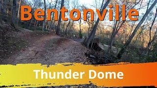
“Connect the base of many trails (Thunder Dome) to the top of the hill and beyond it connects to Coler Grove. ”


0.2
Miles0.4
KMPaved Path
 Easy/Intermediate
Land Manager: Oz Trails
 Slaughter Pen & Blowing Springs Day Ride
23.2 mi 37.3 km • 1,158' Up 352.89 m Up • 1,162' Down 354.29 m Down
 Bentonv…, AR
 Dutton Hollow Loop
2.9 mi 4.7 km • 411' Up 125.4 m Up • 408' Down 124.49 m Down
Lost Bridge Trail
4.7 mi 7.6 km • 791' Up 241.06 m Up • 786' Down 239.68 m Down
 OZ XC Route
3.3 mi 5.3 km • 328' Up 100.04 m Up • 328' Down 99.99 m Down
Fayette…, AR
Kessler Beginner's Loop Via Last Call & Terrapin
2.3 mi 3.8 km • 293' Up 89.38 m Up • 292' Down 89.03 m Down
 Mt Sequoyah Woods
4.9 mi 7.9 km • 482' Up 146.89 m Up • 488' Down 148.63 m Down


 All Clear


0 Comments