
 Continue with onX Maps
 Sign in with Facebook


 Difficult
Difficult
Difficult
 Difficult
Land Manager: USFS - San Bernardino National Forest Office
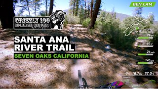
 Santa Ana River Trail (SART) 2E03 Shuttle
13.7 mi 22.1 km • 1,300' Up 396.14 m Up • 1,782' Down 543.24 m Down

 Big Bea…, CA
Crafton Hills
Big Bea…, CA
Crafton Hills
9.9 mi 16.0 km • 1,369' Up 417.34 m Up • 1,367' Down 416.75 m Down
 Caroline Park
1.4 mi 2.2 km • 189' Up 57.65 m Up • 189' Down 57.6 m Down
 Lord of the Ridges Loop
6.2 mi 9.9 km • 790' Up 240.84 m Up • 793' Down 241.82 m Down
Hulda Crooks to Reche Canyon
4.4 mi 7.2 km • 619' Up 188.62 m Up • 642' Down 195.7 m Down
Loma Linda, CA
Jedi Tree and Back
4.2 mi 6.7 km • 484' Up 147.51 m Up • 497' Down 151.54 m Down
Loma Linda, CA


5 Comments