
 Continue with onX Maps
 Sign in with Facebook


 Intermediate

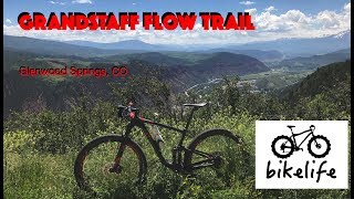
“A twisty dirt road climb that's a great workout with amazing mountain and river views. ”


3.4
Miles5.5
KMDoubletrack
 Intermediate
Local Club: Roaring Fork Mountain Bike Association
Land Manager: City of Glenwood Springs Parks and Recreation
 New Castle Dirty Dozen MTB Race
10.9 mi 17.6 km • 1,825' Up 556.12 m Up • 1,837' Down 559.87 m Down
 New Castle, CO
 Red Hill Loop
6.1 mi 9.8 km • 1,084' Up 330.45 m Up • 1,083' Down 330.12 m Down
 The Up 'N' Over AKA Rock Bottom Ranch AKA Crown Cruise
19.1 mi 30.8 km • 1,450' Up 442.01 m Up • 1,445' Down 440.34 m Down
 Carbondale, CO
Glassier - Buckhorn Loop
Carbondale, CO
Glassier - Buckhorn Loop
15.4 mi 24.7 km • 1,254' Up 382.13 m Up • 1,252' Down 381.55 m Down
Carbondale, CO
Crown Tour
20.9 mi 33.6 km • 2,619' Up 798.25 m Up • 2,617' Down 797.66 m Down
Carbondale, CO
Crown Royale
6.1 mi 9.8 km • 2' Up 0.65 m Up • 2,436' Down 742.58 m Down
El Jebel, CO


 All Clear


1 Comment