
 Continue with onX Maps
 Sign in with Facebook


 Intermediate


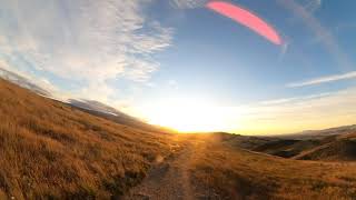
“A fire road climb to a nice vista, then descent back down the other side. ”


1.4
Miles2.3
KMDoubletrack


0 Comments