
 Continue with onX Maps
 Continue with Facebook


 Intermediate
Intermediate
Intermediate
 Intermediate
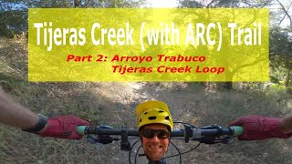
Land Manager: OC Parks - Ronald W. Caspers Wilderness Park
 Westridge Loop
2.4 mi 3.9 km • 300' Up 91.44 m Up • 299' Down 91.28 m Down
 Rancho…, CA
 Nyes Laguna Beach Thigh Killer
11.0 mi 17.6 km • 2,094' Up 638.35 m Up • 2,093' Down 637.97 m Down

 5 Oak, Cholla, Rock-it
6.7 mi 10.7 km • 1,101' Up 335.69 m Up • 1,115' Down 339.7 m Down
Aliso V…, CA
Whiting + The Luge
14.9 mi 24.0 km • 1,911' Up 582.61 m Up • 1,912' Down 582.85 m Down
Foothil…, CA
Whiting-Cactus Loop
5.7 mi 9.2 km • 670' Up 204.28 m Up • 671' Down 204.47 m Down
Foothil…, CA
Maple Springs Loop
16.8 mi 27.1 km • 3,463' Up 1055.47 m Up • 3,464' Down 1055.92 m Down


4 Comments