
 Continue with onX Maps
 Continue with Facebook


 Intermediate/Difficult

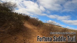
“A combination of paved fire road and dirt doubletrack, The Saddle is a challenge. ”


3.2
Miles5.1
KMDoubletrack
 Intermediate/Difficult
Land Manager: County of San Diego - Parks and Recreation
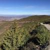
 Cowles Mtn
5.4 mi 8.6 km • 1,211' Up 369.03 m Up • 1,224' Down 373.02 m Down

 Tecolote Canyon Loop from Tecolote Road
11.6 mi 18.6 km • 585' Up 178.16 m Up • 584' Down 178.06 m Down
Baja Divide: Section 1
59.4 mi 95.6 km • 5,220' Up 1590.96 m Up • 3,461' Down 1054.85 m Down
San Diego, CA
Penasquitos Tour
10.8 mi 17.5 km • 825' Up 251.36 m Up • 816' Down 248.61 m Down
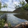
Lake Hodges North Side
10.2 mi 16.4 km • 294' Up 89.75 m Up • 294' Down 89.75 m Down
 Escondido, CA
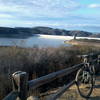
Elfin Forest
Escondido, CA
Elfin Forest
9.6 mi 15.4 km • 1,957' Up 596.49 m Up • 1,929' Down 587.92 m Down


 All Clear


1 Comment