
 Continue with onX Maps
 Continue with Facebook


 Difficult

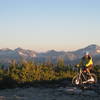
“A rare sapphire trail that can be climbed. ”


7.2
Miles11.5
KMSingletrack
 Difficult
Local Club: Bitterroot Backcountry Cyclists
Land Manager: USFS - Bitterroot National Forest Office
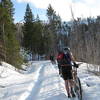
 Palisades Loop
17.9 mi 28.9 km • 3,409' Up 1039.17 m Up • 3,521' Down 1073.17 m Down

 Hamilton, MT
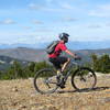
 Sapphire Crest
20.5 mi 33.0 km • 2,965' Up 903.81 m Up • 5,129' Down 1563.33 m Down
Hamilton, MT
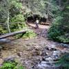
Blodgett Canyon
14.2 mi 22.8 km • 1,303' Up 397.21 m Up • 1,303' Down 397.2 m Down
Hamilton, MT
 Buttercup Loop
21.1 mi 34.0 km • 2,776' Up 846.17 m Up • 2,781' Down 847.54 m Down
Ward Mountain
12.5 mi 20.1 km • 4,806' Up 1464.96 m Up • 4,805' Down 1464.62 m Down
Hamilton, MT
 Coyote Coulee
8.9 mi 14.3 km • 1,550' Up 472.56 m Up • 1,551' Down 472.69 m Down


0 Comments