
 Continue with onX Maps
 Continue with Facebook


 Intermediate


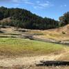
“A fire road used to connect to the trails in Harry Barbier Memorial Park. ”


2.9
Miles4.7
KMDoubletrack


 All Clear


1 Comment