
 Continue with onX Maps
 Continue with Facebook


 Intermediate/Difficult
Intermediate/Difficult
Intermediate/Difficult
 Intermediate/Difficult
Local Club: Clinton River Area Mountain Bike Association (CRAMBA)
Land Manager: Huron-Clinton Metroparks
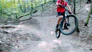
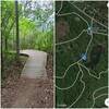
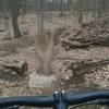
 Bloomer Park Loop
6.8 mi 10.9 km • 331' Up 100.94 m Up • 324' Down 98.79 m Down
 Bald Mountain North Guinness Bikers Standard
7.3 mi 11.8 km • 555' Up 169.03 m Up • 555' Down 169.03 m Down
 Addison Oaks County Park
5.8 mi 9.4 km • 342' Up 104.38 m Up • 344' Down 104.96 m Down
 Lake Orion, MI
Pontiac Lake Recreation Area
Lake Orion, MI
Pontiac Lake Recreation Area
9.0 mi 14.5 km • 713' Up 217.4 m Up • 713' Down 217.34 m Down
Waterford, MI
Holly Holdridge Lakes State Recreation Area
18.9 mi 30.5 km • 815' Up 248.38 m Up • 816' Down 248.69 m Down
Holly, MI
Lakeshore Park (Tree Farm)
8.9 mi 14.3 km • 358' Up 109.04 m Up • 357' Down 108.67 m Down
Walled…, MI
")


 All Clear


1 Comment