
 Continue with onX Maps
 Continue with Facebook


 Intermediate
 5.0 (1)

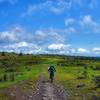
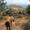
“Mostly gravel road climbing Holston Mountain through two National Forests (and two states!) ”


12.7
Miles20.5
KMDoubletrack


0 Comments