This is a true back-country trail with some technical features (a few rock gardens, roots, mud bogs), and ends with a fun descent to the Cranberry River.
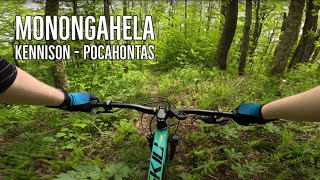
Deep pine forest with bright green ferns and moss covering the forest floor. It is a slow, energy-sucking ride. It is not heavily traveled and there can be a few downed trees, and overgrown spots are not uncommon, but this adds to the back-country experience. It primarily goes along the Kennison Mountain ridge although there is some climbing, particular near the beginning. It is definitely best to start at the top off of Rt. 39 and head NW towards the Cranberry.
For a great loop, start at the Cranberry Nature Center and head west on Pocahontas Trail for a couple of miles, then turn on
Blue Knob Trail #255 and cross Rt. 39 to the Kennison Trailhead. At the end, cross the Cranberry River and there is a forest road about a 100 feet ahead (although you may not be able to see it as you cross river). Turn right and head up the gated forest road to the Cranberry glades. Ride the road out of the glades back to Rt. 39, turn left on 39 and go about a mile back to the C-Nature Center.
Most people start on Dogway Road parking area, just before the locked gate. Park there and ride East on Frosty Gap trail, then left on Kennison mtn trail. Ride Kennison mtn trail about 8 miles to the Cranberry River crossing. Ford the river here (American Whitewater level of 2.5 feet is easy crossing). After crossing the river, go straight 200 ft or so to a gravel rd, FSR 102. Go right and ride up to the parking lot at the backcountry gate. Keep going up 102, then right on Hwy 39. Climb to the Kennison Mountain parking area, then a bit further on Hwy 39, go right on
Dogway Road (FSR #232), back to your vehicle.
There is a river crossing at the bottom of the trail. 2.5 - 3.2 is an easy level to cross. You can check the level at
americanwhitewater.org/cont…
Thanks to some folks from Fayetteville, there is a new loop. Start at Eagle Camp trail, ride up to and go left on Pocahontas, then right on Frosty Gap, then left on Kennison Mtn trail down to the Cranberry River, right on Cranberry River road and 102, cross Hwy 39 at Bruffey, up Bruffey, right on Pocahontas to Fork Mtn trail down to the Hills Creek Falls parking lot, then left on Hwy 39 for a 1/2 mile to the Eagle Camp parking lot. Total distance: 32 miles.
Part of the Yew Mountain Doozy
facebook.com/WVDoozy

 Continue with onX Maps
 Sign in with Facebook


 Difficult


17 Comments