Use onX Backcountry to explore the terrain in 3D, view recent satellite imagery, and more.
Now available in onX Backcountry Mobile apps!
For more information see this post.
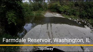
This is a singletrack trail connecting T-n-T to the Playground area. Use caution when crossing the spillway. The slime buildup on the concrete can be very slippery!

 Continue with onX Maps
 Sign in with Facebook


 Intermediate


0 Comments