MTB Project Logo

A cool, winding path through the woods.


Your Rating: Rating Rating Rating Rating Rating      Clear Rating
Your Difficulty:
Your Favorites: Add To-Do · Your List
Zoom in to see details
Map Key

0.5

Miles

0.8

KM

Singletrack

904' 275 m

High

880' 268 m

Low

20' 6 m

Up

29' 9 m

Down

2%

Avg Grade (1°)

8%

Max Grade (4°)

Dogs Leashed

E-Bikes Unknown

Family Friendly Flat, no major obstacles.

Description

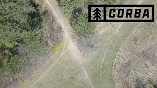
Nod is a relatively flat trail and good for beginners. Wind your way through a mixture of deciduous and coniferous trees. Nod connects Skull and Ridgeline at its west end to The Pines at its east end.

Contacts

Shared By:

Sue McDonald

Trail Ratings

  4.5 from 2 votes

#9424

Overall
  4.5 from 2 votes
5 Star
50%
4 Star
50%
3 Star
0%
2 Star
0%
1 Star
0%
Trail Rankings

#200

in Wisconsin

#9,424

Overall
1 Views Last Month
100 Since Feb 14, 2016
Easy/Intermediate Easy/Intermediate

33%
0%
67%
0%
0%
0%

Photos

Lowes Creek (Eau Claire, WI) - Nod - Spring Time Ride (Helmet Cam)
Aug 12, 2020 near Altoona, WI

0 Comments

Weather


Current Trail Conditions

Unknown
Add Your Check-In

Check-Ins

none
Welcome

Join the Community

Create your FREE account today!
Already have an account? Login to close this notice.

Get Started