
 Continue with onX Maps
 Sign in with Facebook


 Difficult

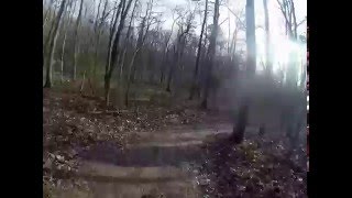
“Ride from the valley floor to the top of Lick Mountain - beautiful hardwood forests and views. ”


7.0
Miles11.3
KMSingletrack
 Difficult
Land Manager: Town of Wytheville - Parks and Recreation
 Horse Heaven
14.0 mi 22.6 km • 2,561' Up 780.67 m Up • 2,562' Down 780.8 m Down


 Bear Creek to Crawfish Ride
13.2 mi 21.3 km • 838' Up 255.56 m Up • 843' Down 256.8 m Down
 Wild Steer 6202
15.1 mi 24.3 km • 1,618' Up 493.03 m Up • 1,617' Down 492.95 m Down
Marion, VA
The Long Loop
12.5 mi 20.1 km • 1,903' Up 579.98 m Up • 1,925' Down 586.69 m Down
Marion, VA
Slab Town Trail
5.7 mi 9.2 km • 1,208' Up 368.05 m Up • 1,208' Down 368.24 m Down
Virginia Highlands Loop
74.8 mi 120.3 km • 6,737' Up 2053.31 m Up • 6,738' Down 2053.59 m Down


0 Comments