
 Continue with onX Maps
 Sign in with Facebook


 Intermediate


 Intermediate
Land Manager: Town of Castle Rock, CO - Parks, Open Space and Trails
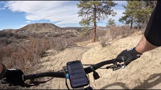
 Metzler Family Open Space
4.0 mi 6.4 km • 375' Up 114.29 m Up • 379' Down 115.65 m Down
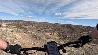
 Quarry Mesa Ride
3.8 mi 6.1 km • 312' Up 95.19 m Up • 312' Down 95.17 m Down
CT - Segment 2: South Platte River to Little Scraggy
10.3 mi 16.6 km • 2,175' Up 662.8 m Up • 619' Down 188.57 m Down
EWRT Round Trip | To Parker and Back!
55.0 mi 88.5 km • 4,083' Up 1244.5 m Up • 4,083' Down 1244.5 m Down
Little Scraggy to Pine Valley Ranch Park (Mostly) Downhill
16.2 mi 26.1 km • 1,267' Up 386.29 m Up • 2,253' Down 686.59 m Down
Deckers, CO
 Buff Creek: "Big Burrito"
33.3 mi 53.6 km • 3,458' Up 1054.08 m Up • 3,456' Down 1053.31 m Down
Pine, CO


 All Clear


4 Comments