
 Continue with onX Maps
 Continue with Facebook


 Difficult


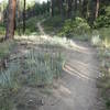
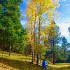
“A slight downhill trail along the rim of Pueblo Canyon, near Los Alamos County Airport. ”


1.6
Miles2.6
KMSingletrack


1 Comment