
 Continue with onX Maps


Rate Photo


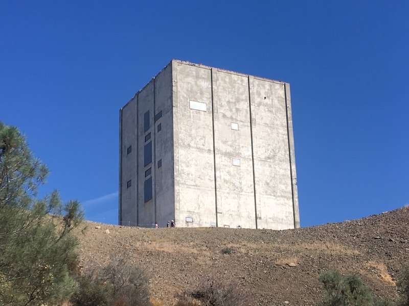
Shlomo Waser
Oct 4, 2017
near Lexington Hills,
CA
“Mount Umunhhum's Airforce Radar Tower was in use 1957-1980. This iconic structure is visible from many places in the South Bay Area.”


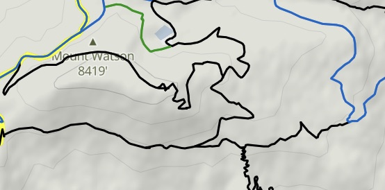


 Up and Around Umunhum from…


0 Comments