
 Continue with onX Maps
 Continue with Facebook


 Easy/Intermediate


“A 6-mile trail through the town of Castle Rock. ”


8.2
Miles13.2
KMPaved Path
 Easy/Intermediate
Land Manager: Town of Castle Rock, CO - Parks, Open Space and Trails
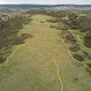
 Ridgeline Open Space
9.9 mi 15.9 km • 1,017' Up 309.92 m Up • 1,018' Down 310.2 m Down
 CT - Indian Creek (Waterton Canyon Alt.)
19.0 mi 30.6 km • 2,810' Up 856.63 m Up • 4,174' Down 1272.29 m Down

 Greenland & Spruce Meadows Open Space Loop
19.3 mi 31.1 km • 1,270' Up 386.98 m Up • 1,271' Down 387.28 m Down
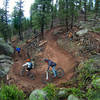
North Fork Lollipop
21.0 mi 33.8 km • 2,685' Up 818.5 m Up • 2,687' Down 819.09 m Down
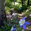
 Little Scraggy Trail Loop
12.6 mi 20.3 km • 1,432' Up 436.41 m Up • 1,443' Down 439.88 m Down
Pine, CO
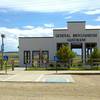
USAFA Falcon Trail
13.1 mi 21.1 km • 1,330' Up 405.49 m Up • 1,338' Down 407.75 m Down
Air For…, CO


2 Comments