This trail is one of the most popular intermediate routes at Harmonie State Park. It is often used as part of a 13 mile ride in conjunction with the
Walnut Connector. Begin at the main parking lot, and enjoy the first 1.8 miles to Walnut Pond.
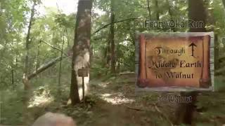
Veer right when you come across the intersection with the Oka Run Trail, and continue to climb on Walnut past the pond. There will be a sharp turn once you gain the ridge, but a flowing section with a few vine crossings and one small log drop ensues. As you continue, the grade will increase, and youll need to navigate some higher turns. Use caution around Dead Mans Curve (some say the name is an exaggeration, others think its accurate). Youll continue on, enjoying the rolling twists of the route.
After a short bail-out, youll move into a downhill section. Small jumps and banked turns await! Eventually, youll cross the creek, and from here, be prepared to pedal. After climbing for quite a while, youll continue on Walnut, which will feel a bit like a goat trail. And the end of a steep climb, youll come to a split, where youll be able to choose your own adventure, a smooth path to the left, and a log crossing/rock garden to the left.
Passing through the woods, youll enjoy rolling over some technical trail, with logs, roots and rocks. After passing another bailout, and crossing a ditch, youll finish up the last section of flowing trail.
From here, retrace your steps, or take Oka Run back to the central parking area.

 Continue with onX Maps
 Continue with Facebook


 Intermediate


0 Comments