
 Continue with onX Maps
 Continue with Facebook


 Difficult


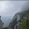
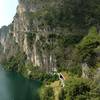
“A good and challenging extension to Path #650: Upper Malga Campo to Malga Campei. ”


1.0
Miles1.6
KMSingletrack


0 Comments