
 Continue with onX Maps
 Continue with Facebook


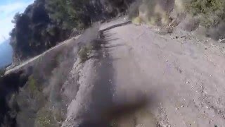
 Intermediate/Difficult
Intermediate/Difficult
Intermediate/Difficult
 Intermediate/Difficult
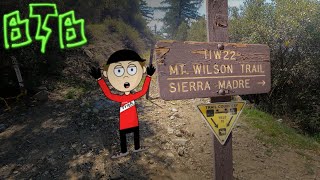
Land Manager: USFS - Angeles National Forest Office
 Winter Creek Loop
4.9 mi 7.9 km • 1,236' Up 376.75 m Up • 1,245' Down 379.49 m Down

 Sierra…, CA
 Mt. Lukens from the Fire Station
15.0 mi 24.1 km • 2,843' Up 866.4 m Up • 2,842' Down 866.24 m Down
Super Strawberry
25.5 mi 41.1 km • 2,639' Up 804.51 m Up • 5,130' Down 1563.76 m Down
Altadena, CA
Chilao Figure-8 Loop
15.2 mi 24.5 km • 2,250' Up 685.74 m Up • 2,248' Down 685.34 m Down
Mt Hillyer Loop
8.7 mi 13.9 km • 1,230' Up 375 m Up • 1,226' Down 373.77 m Down
 Stough Canyon
8.8 mi 14.2 km • 1,829' Up 557.5 m Up • 1,828' Down 557.26 m Down


3 Comments