
 Continue with onX Maps
 Continue with Facebook


 Difficult

 4.4 (8)

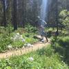
“Technical, rooty white-knuckle singletrack ”


2.0
Miles3.2
KMSingletrack


1 Comment