
 Continue with onX Maps


Rate Photo


Drew Laskowski
Sep 11, 2014
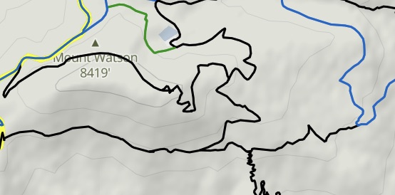
near Tucson Estates,
AZ
“Take a right at this beatifully landscaped intersection to stay on the Explorer Trail, go left to challenge yourself on the Cat Mountain Trail, which is probably the most technically challenging climb/descent combo in the Tucsons. Photo is looking north.”


 Robles Loop via Coyote Ridg…
 Explorer Trail
 Sunset Pass Trail


0 Comments