
 Continue with onX Maps


Rate Photo


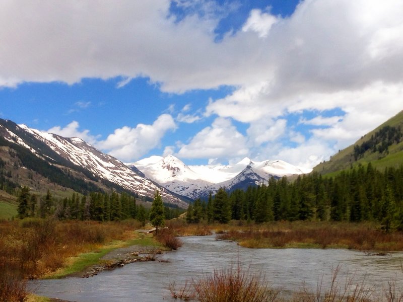
J.J. Benson
Jun 2, 2014
near Crested Butte,
CO
“Looking back into the Oh-Be-Joyful Wilderness area and Slate River. (Wide path coming from Peanut Mine ends here and the singletrack begins to the right of the picture.)”


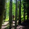


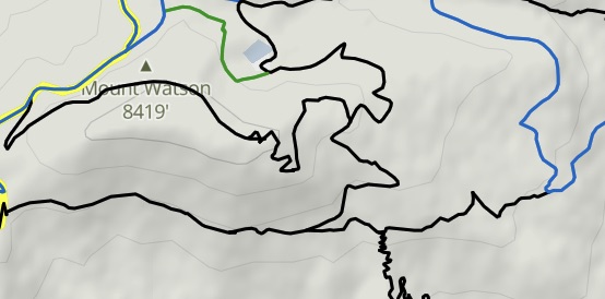


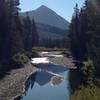
 Lower Loop and Upper Lower…
 Lower Loop


0 Comments